Automated Site Models
Spacial Data Visualized - BIM Ready
Digital Architectural Site Models - in the blink of an eye
1 . Get Your Location Site Model
Quickly select any site in the Netherlands using your projects exact coordinates and start your design process with real and precise spatial data, directly mapped and visualized to your chosen location.
Your Projects Spatial Data - all in one location
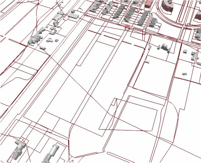
2 . Add Relevant Data Layers
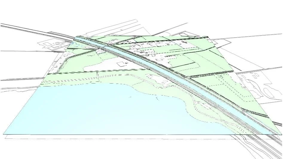
Visualize what matters to you most: from zoning plans and permitted building volumes to ownership plots and the cadastre. Toggle data layers on and off to get a clear overview of your project context.
They say The Netherlands is flat - but we know better
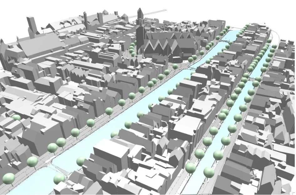
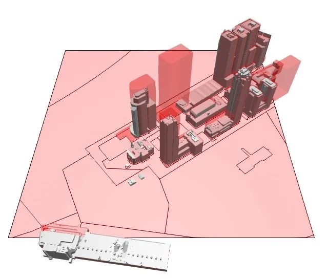
3D . Terrain Geometry Included
With Moondoor Sitemaker, accurate spatial data is transformed into detailed 3D geometry. And yes, we even add water (rivers, lakes, canals) and trees, no digital stone is left unturned.
Whether you're preparing a concept sketch or setting up a BIM-ready base model, you’ll get a visually rich 3D environment that reflects the real world, without spending hours tracing maps or cleaning CAD files.
4 . Download structured 3D files
Receive all selected data in clean, well-structured IFC files — ready to use in your BIM workflow. No need to clean up messy exports; everything is plug-and-play for tools like Revit or Archicad.

Accelerate Feasibility Studies & Design
Test spatial ideas faster. With instant visual context and exportable geometry, the Sitemaker gives you a solid foundation for urban concepts, massing studies, and early-stage decisions. Making your design/development process easy, accurate and fun.
All we want to do - is Improve Your BIM Workflow
We’re on a mission
1.000.000 houses need to be built by 2030.
That's about 300 a day, year round, no days off.
In the Netherlands alone.
By automating, we believe that building design can be done in a single day, cutting time and costs significantly.
Time and costs no one has the luxury for.
WE WANT HOUSES!
For our more elaborate background story, see;
Thomas Broos - Founder - Engineer - BIM specialist - TU Delft -
Thomas Broos - Founder - Engineer - BIM specialist - TU Delft -
Steffan Hegeman - Architect - Computational Designer - TU Delft -
Steffan Hegeman - Architect - Computational Designer - TU Delft -